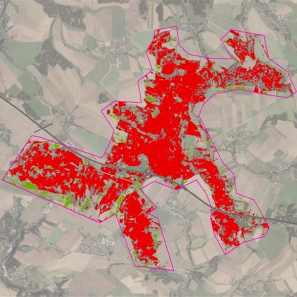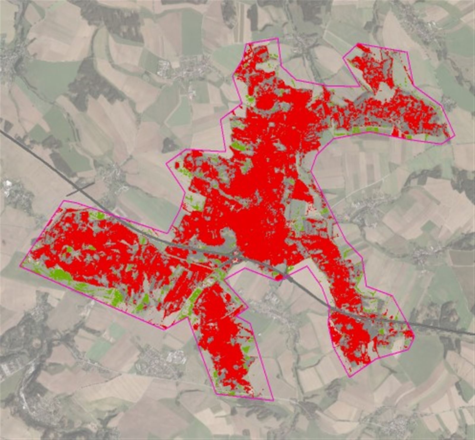

- Observe changes in protective corridors around and plots adjacent to linear infrastructure and engineering networks
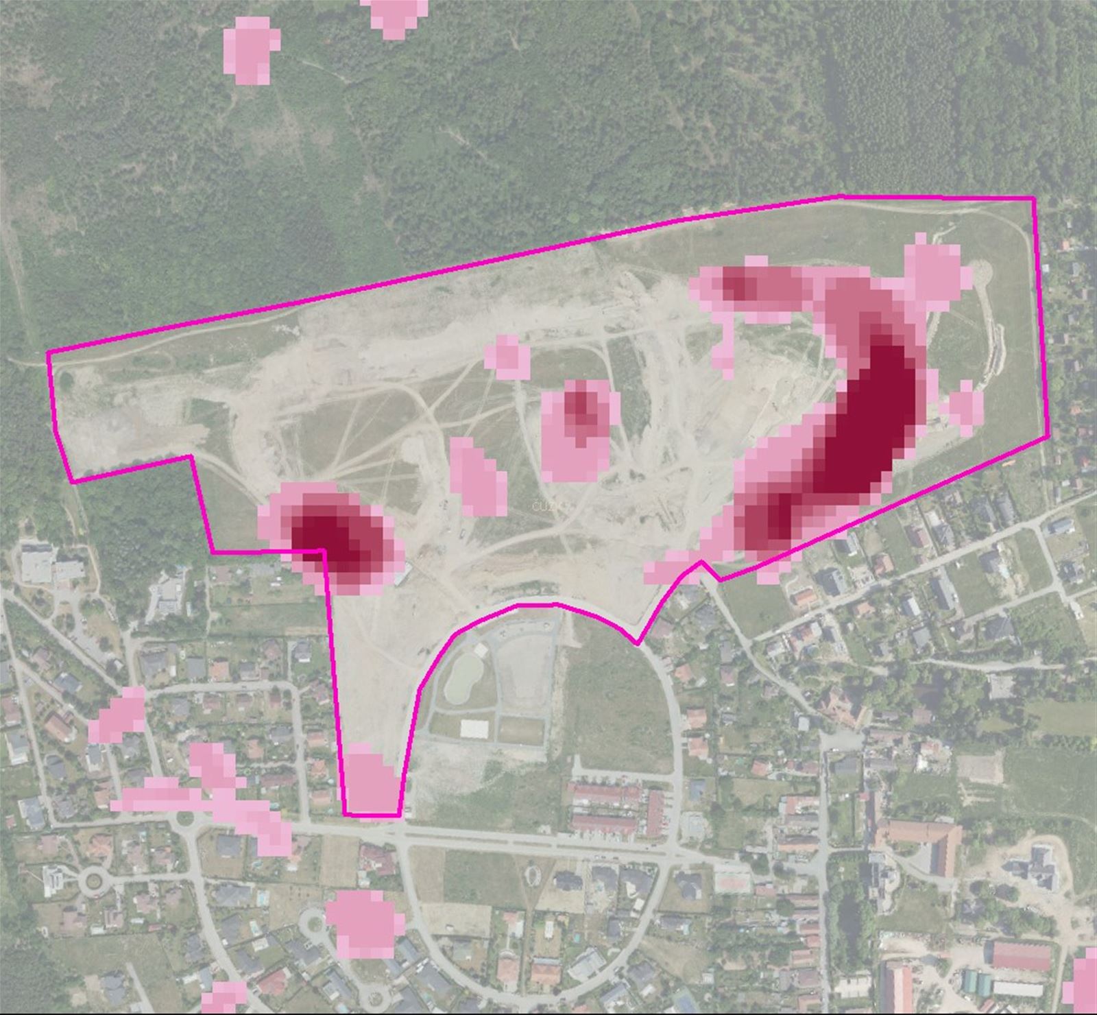
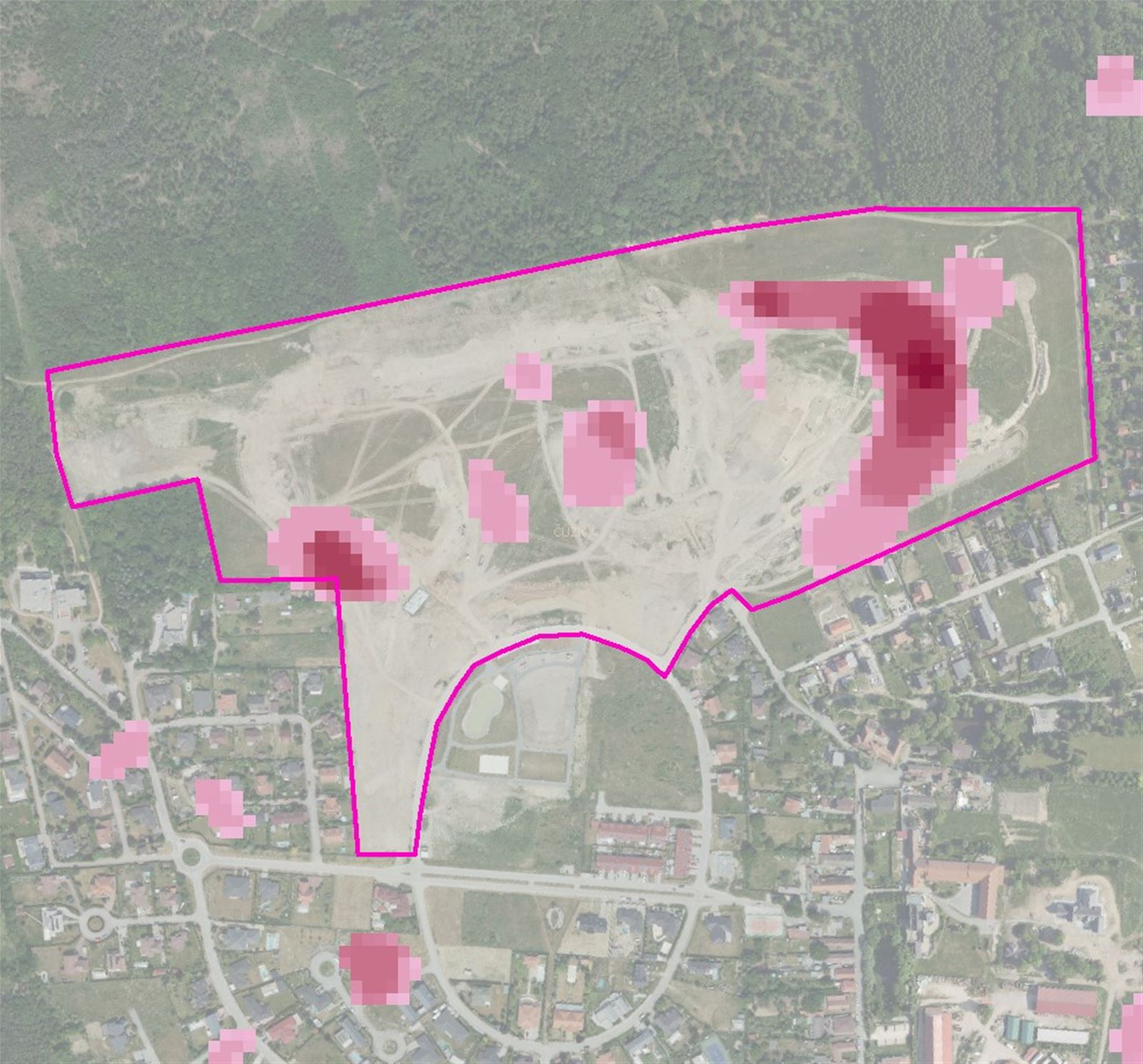
- Detect encroaching and other activities with a negative impact on the exercise of your property rights or on the planning permit process
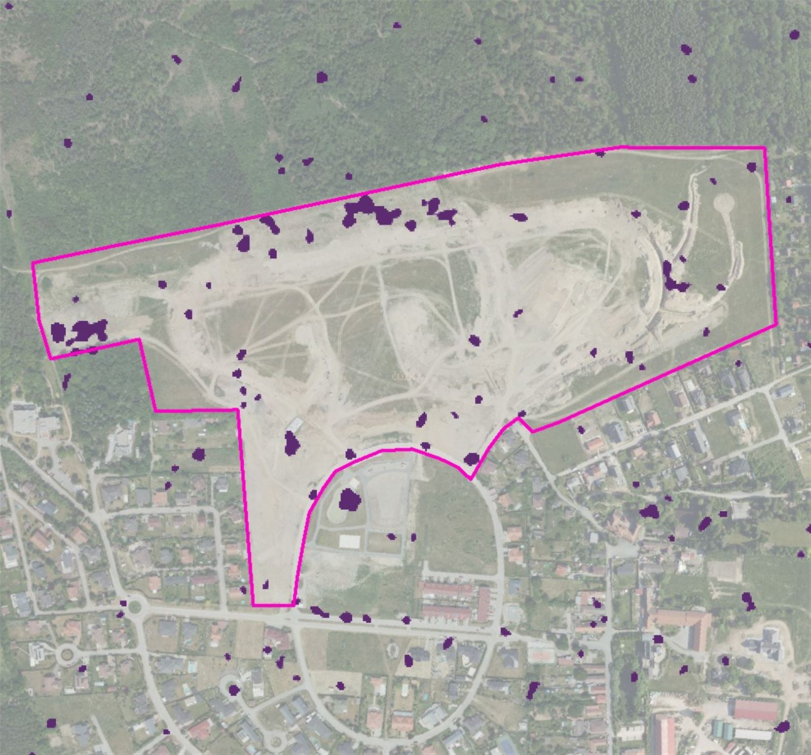
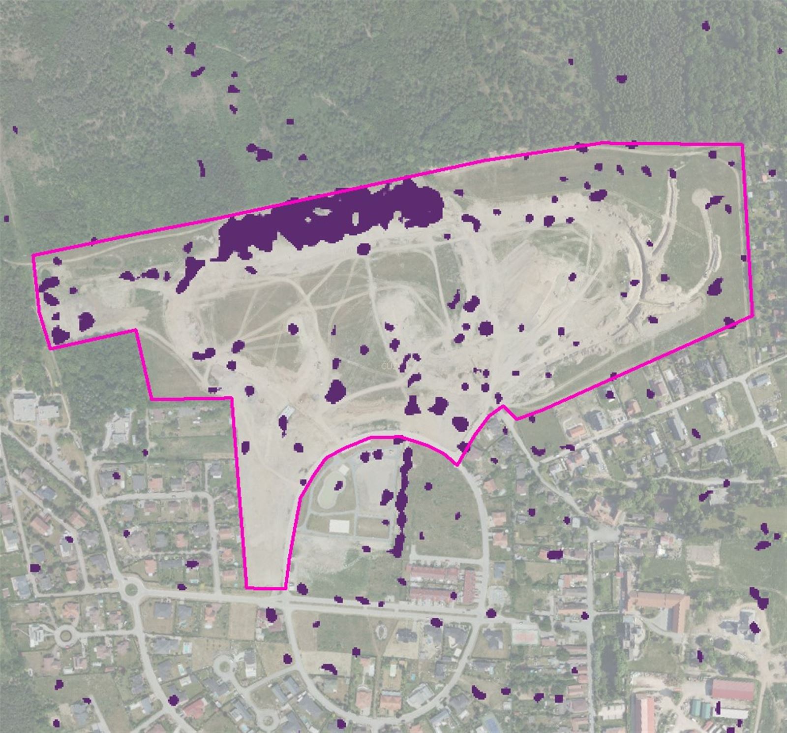
- Monitor the effectiveness of corrective measures
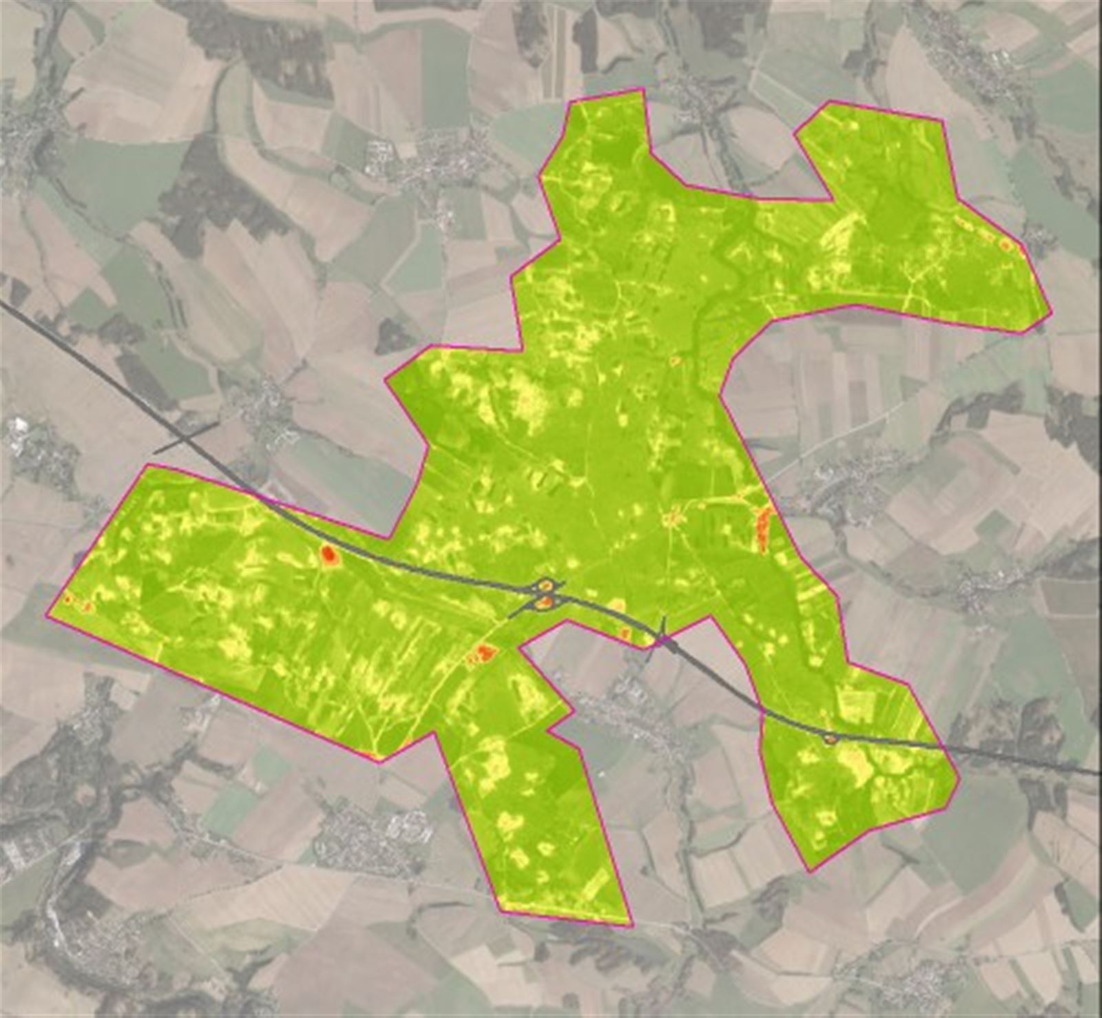
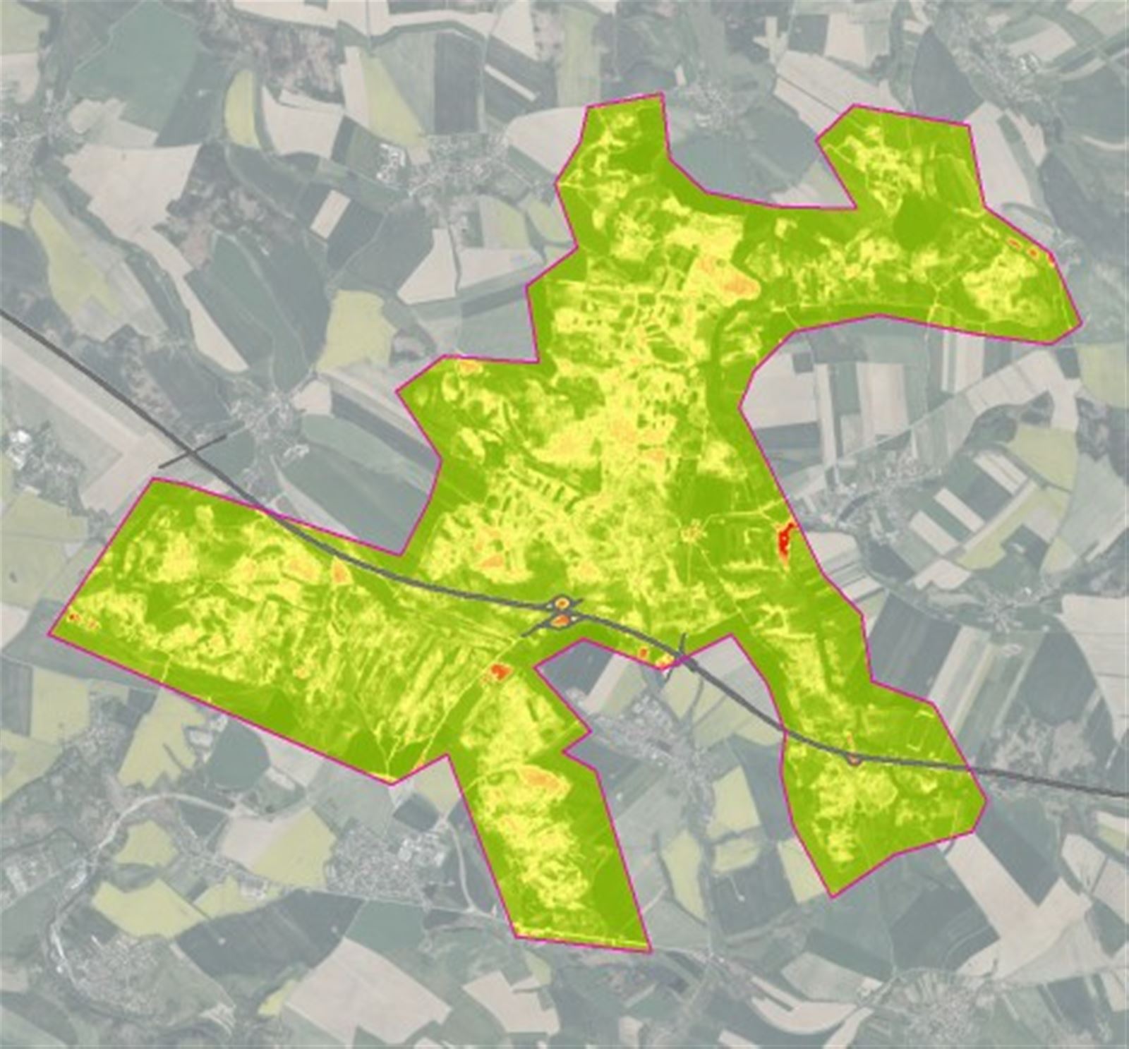
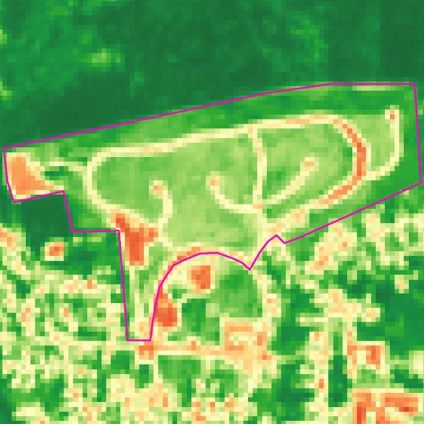
- Monitor the volume, height and health of vegetation and effectively schedule maintenance to keep infrastructure and networks serviceable.
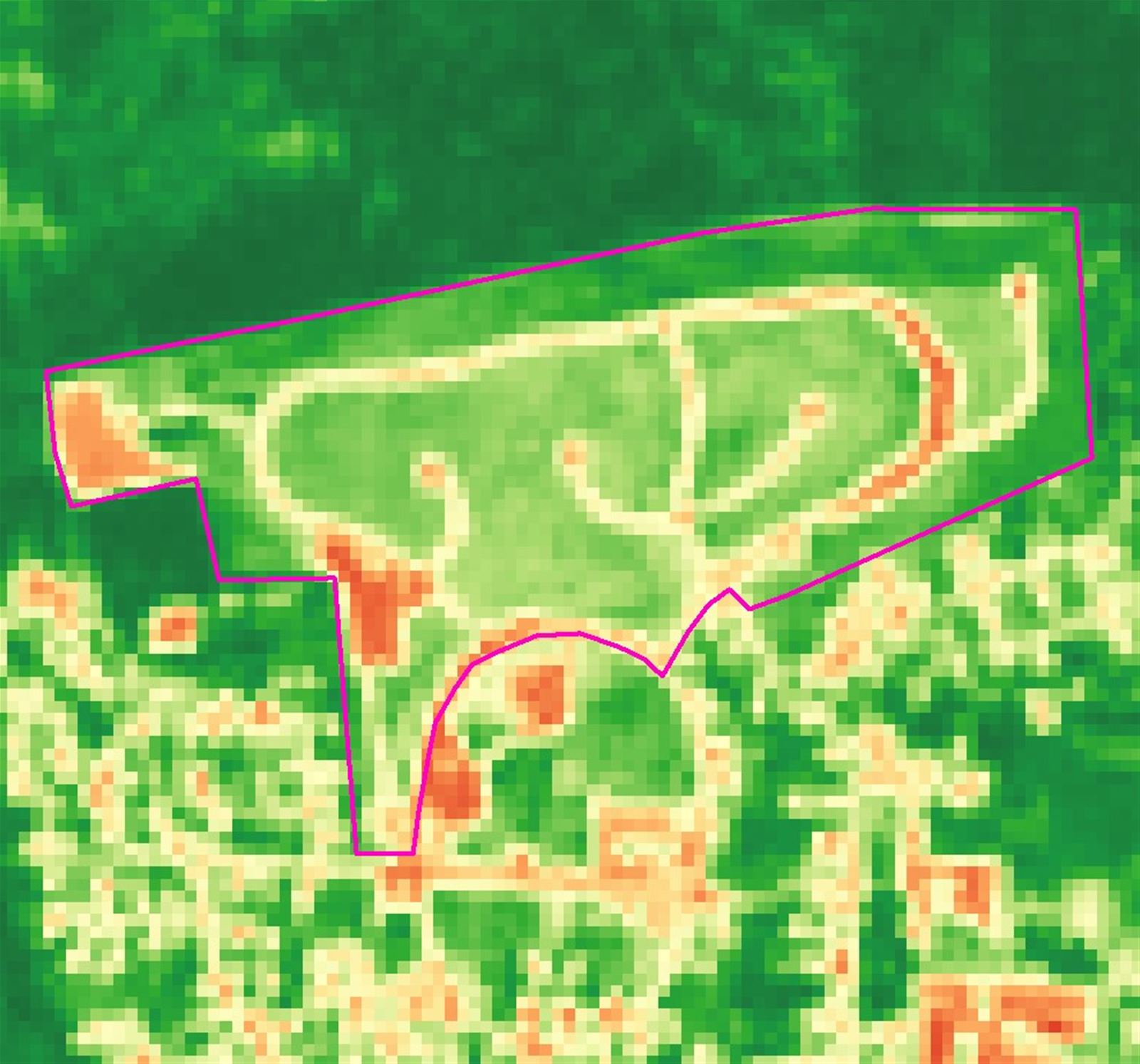
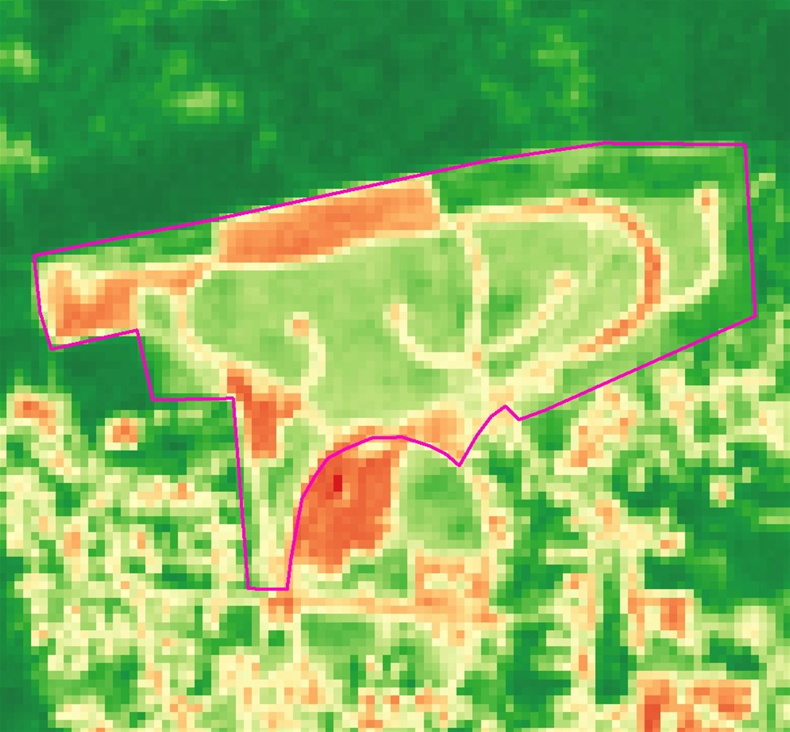
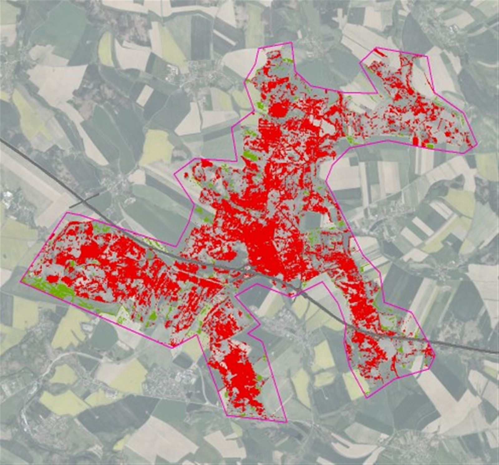
Make use of our comprehensive analysis and monitoring of changes in protective corridors and on adjacent land along linear infrastructure and utility networks. We perform automated detection of activities with a possible negative impact on infrastructure, including illegal construction, open pits and waste dumps. We monitor the progress and effectiveness of corrective measures and the health status of vegetation to plan maintenance and ensure infrastructure safety.
By analyzing time series of optical and radar images, using both commercial very high resolution images for detailed mapping and medium resolution open data with a high frequency of new images, our solution includes defined markers and corresponding warning states that we automatically send to customer systems through an API.