
Data-driven insights for sustainable, resilient, and adaptive cities
Leverage advanced satellite technologies to monitor urban expansion, enhance resilience strategies, and foster healthier urban environments. Our solutions empower cities to better plan sustainable expansion, upgrade essential services, foster green spaces and adapt to climate challenges - creating livable, resilient, and inclusive urban environments. From assessing environmental health to implementing climate adaptation strategies, our insights enable cities to thrive in a dynamic world.

Explore applications in:

Explore applications in:

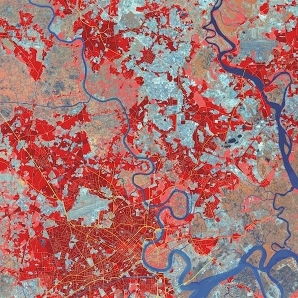
Retrospective urban analysis
Evaluate historical urban growth patterns and assess the impact of previous urban expansion on infrastructure and natural resources. Utilize rich satellite archives to support and optimize strategic urban redevelopment and environmental restoration efforts.

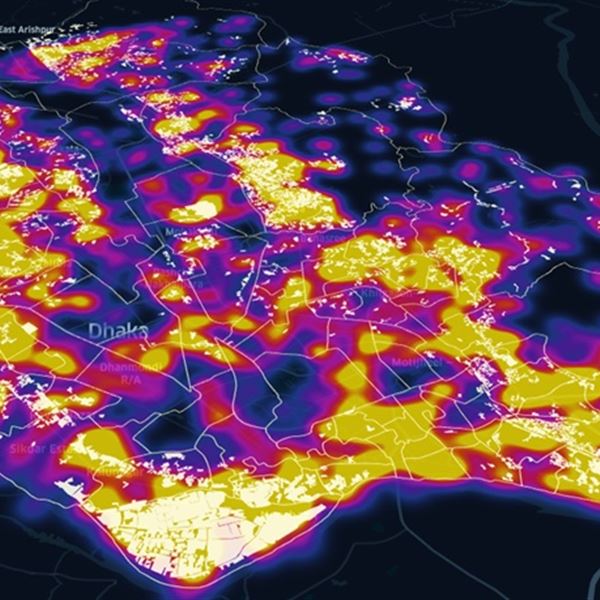
Proactive urban monitoring
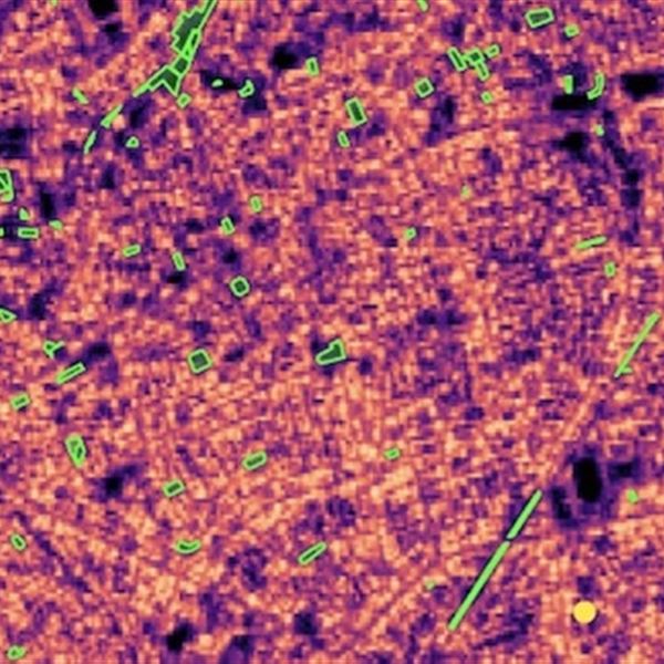
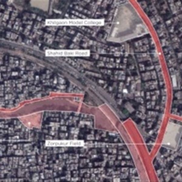
Monitor ongoing urban expansion and environmental changes in real-time. Detect critical developments such as unauthorized construction, environmental degradation, or urban heat islands, and mitigate risks and optimize mitigation activities costs promptly.

Custom delivery format
Receive urban analysis outputs tailored to your needs: interactive maps, comprehensive technical reports, or API integrations for seamless data access.

Advanced data analytics
Enhance decision-making with predictive analytics, scenario simulations, and urban resilience modelling based on multi-source geospatial data.


Case studies and references

Advancing sustainable urban development in Amman through Earth observation Technology
Urban expansion insight – Sustainable development goal indicator 11.3.1 reporting made easy
Your customer journey

We'll start by understanding your challenges and objectives. This involves pinpointing geographic areas, desired timeframes, and crucial insights. We'll then recommend optimal data, processing, and output formats to achieve your vision.
Once your needs are clear, we'll select and acquire the most suitable Earth Observation (EO) data. We'll apply advanced processing techniques like MT InSAR, NDVI, or spectral analysis, to address specific requirements like change detection or ground deformation monitoring.
Our team will analyze data to create impactful outputs tailored to you, like maps, reports, or graphs. Every deliverable undergoes rigorous quality checks to ensure technical accuracy and meet your expectations.
We'll provide results in your preferred format – via our online portal, printed outputs, or electronic delivery. We can also include a technical report to explain analysis details and key conclusions, empowering you with deeper understanding.
If needed, we'll provide bespoke training to equip your personnel with the skills to effectively work with data and interpret results. Our aim is to build your in-house capacity and maximize the value of our solutions.
