
Expand your portfolio of risk detection to increase infrastructure safety
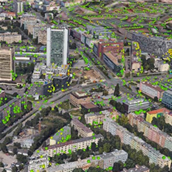
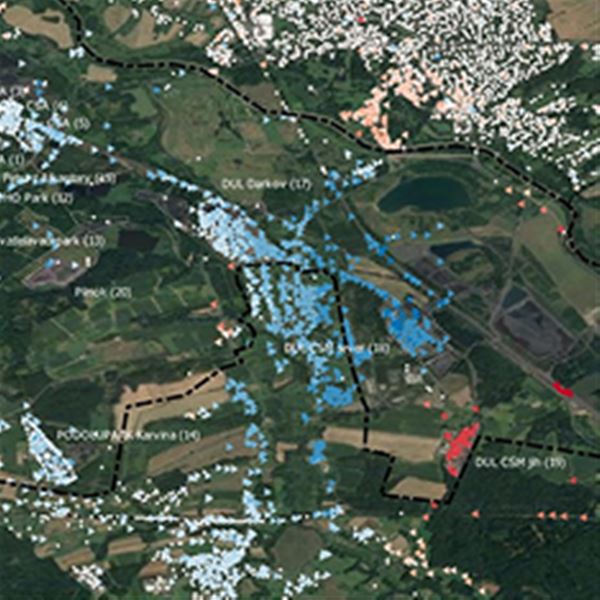
Mitigate potential geotechnical and structural infrastructure risks by utilizing satellite interferometry. This technology enables the monitoring of millimeter-scale deformations in the earth's surface and buildings across vast global areas, including their historical evolution. InSAR serves as a powerful diagnostic tool, complementing traditional measurement methods, and contributes to improved infrastructure planning and maintenance throughout its entire lifecycle.

Explore applications in:

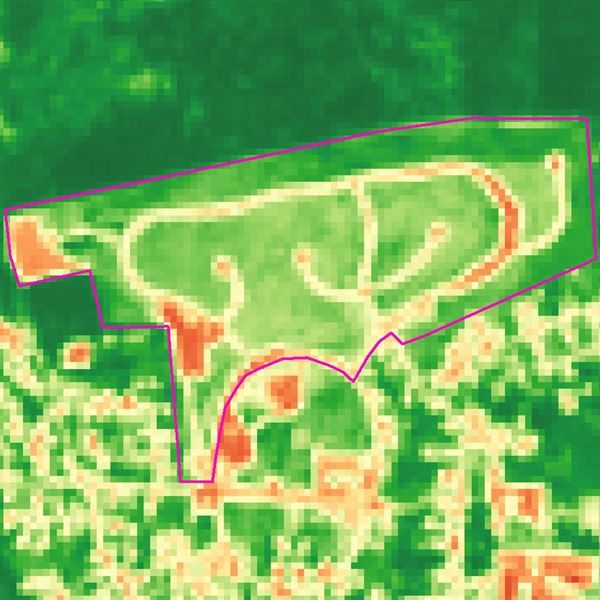
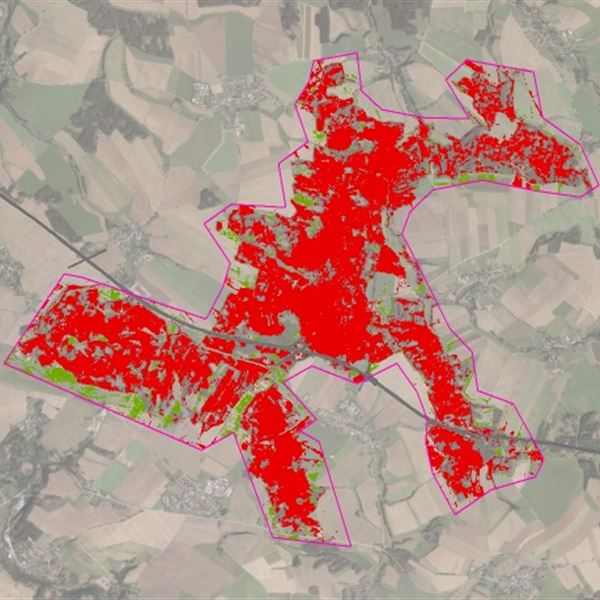

Retrospective InSAR mapping
Retrospective analysis of deformations and instabilities in your area of interest based on archived radar measurements.
Helps make sound geotechnical and engineering assessments of area stability in the construction preparation phase: preliminary or detailed geotechnical survey. Endorses a stability passport for the construction site before work begins.

Proactive InSAR monitoring
Real-time monitoring and assessment of developing instabilities using automated detection of changes from new radar measurements.
This allows early detection of deteriorating existing instabilities or the emergence of new ones in an area, as well as infrastructure deformations during construction or operation.

Choose how to get results
We deliver mapping and measurement results in your desired format and protocol: spatial data with temporal components, through the InSARviz online platform (interactive visualization tool for satellite SAR interferometry), via your API, or as a technical report with maps.

Artificial corner reflectors
Artificial corner reflectors allow InSAR measurements to be made in inaccessible areas where geography, vegetation or other factors hamper standard InSAR techniques.
Our corner reflectors support infrastructure monitoring in Czechia, Austria and Slovenia.


Case studies and references
Support to resilient road investments in South-East Asia
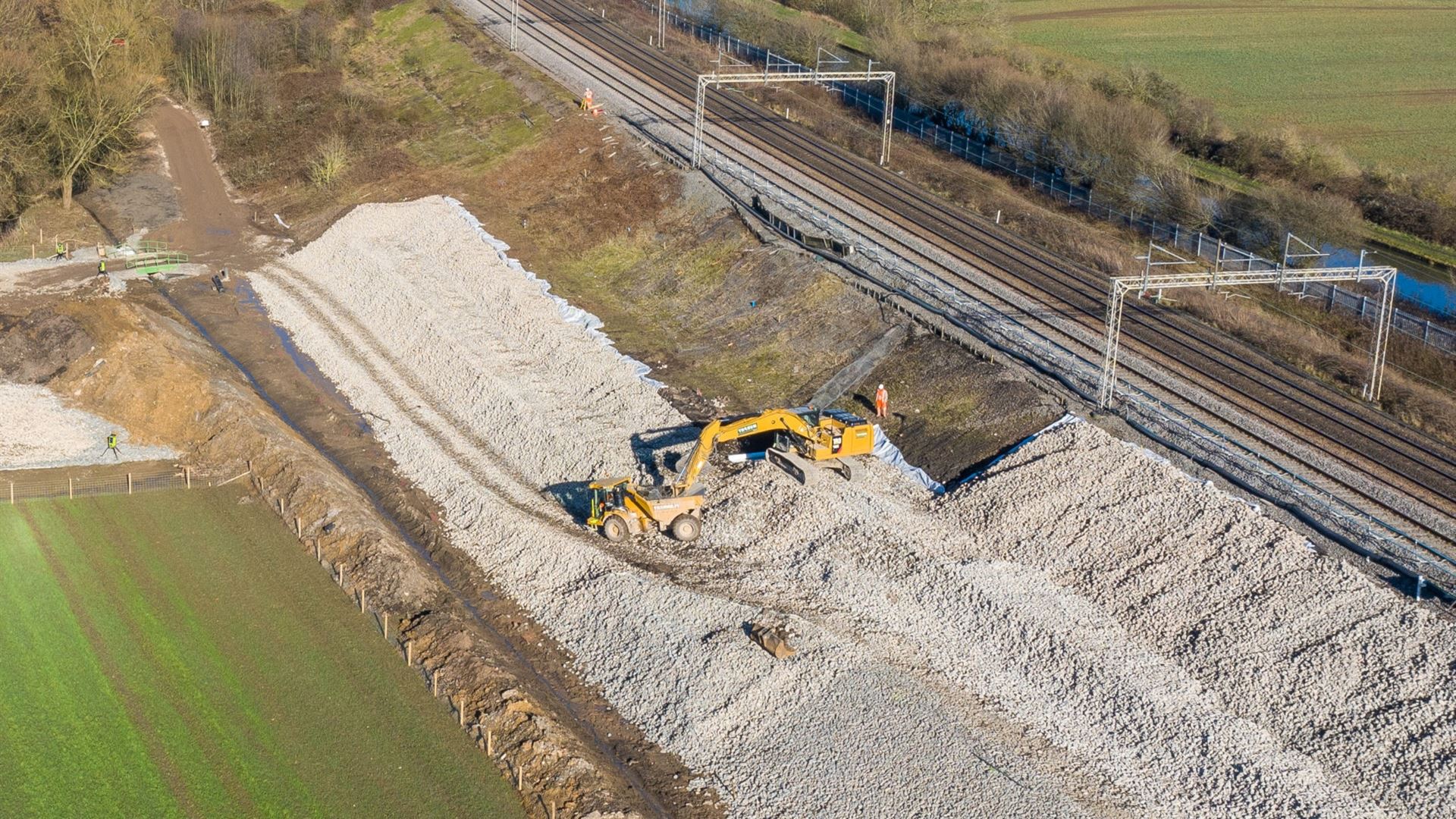
Monitoring railway embankments to early detect potential failures
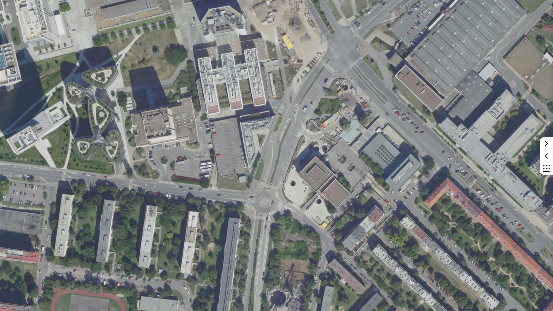
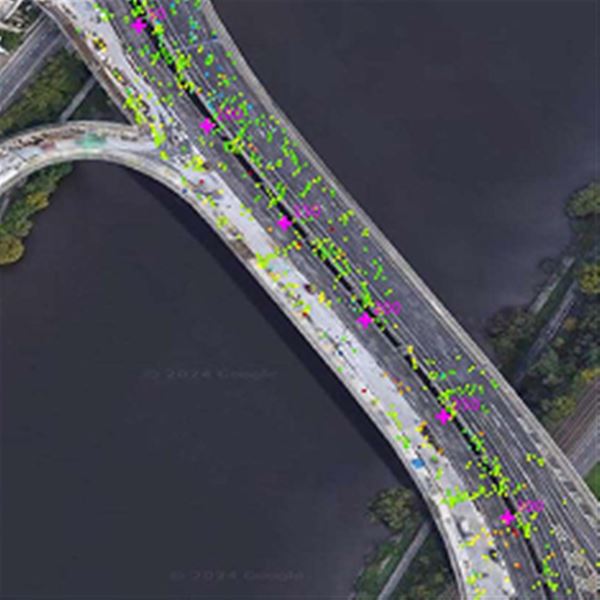
Monitoring construction of Metro line D in Prague
Using InSAR to support geotechnical survey for high-speed rail construction
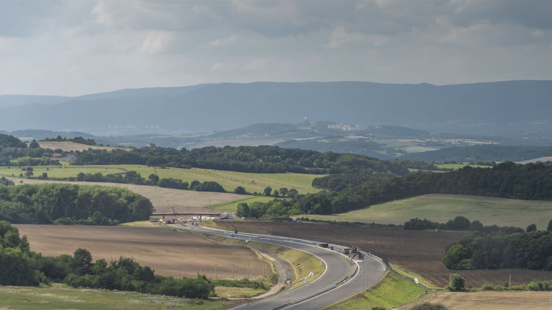
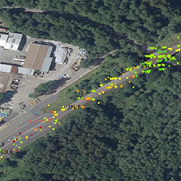
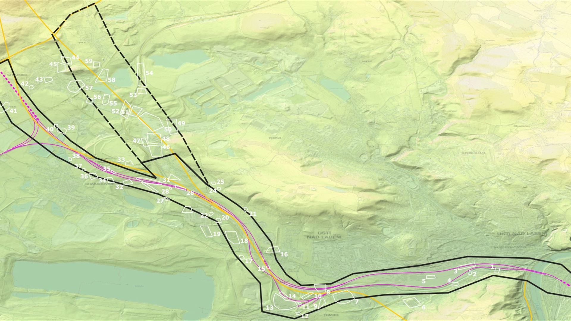
InSAR monitoring system for landslide-prone segment of D8 highway
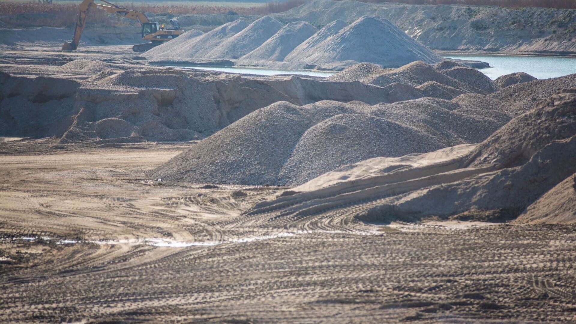
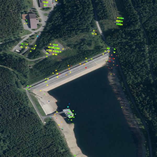
Geotechnical prognosis of long-term dump consolidation
Your customer journey

We'll start by understanding your challenges and objectives. This involves pinpointing geographic areas, desired timeframes, and crucial insights. We'll then recommend optimal data, processing, and output formats to achieve your vision.
Once your needs are clear, we'll select and acquire the most suitable Earth Observation (EO) data. We'll apply advanced processing techniques like MT InSAR, NDVI, or spectral analysis, to address specific requirements like change detection or ground deformation monitoring.
Our team will analyze data to create impactful outputs tailored to you, like maps, reports, or graphs. Every deliverable undergoes rigorous quality checks to ensure technical accuracy and meet your expectations.
We'll provide results in your preferred format – via our online portal, printed outputs, or electronic delivery. We can also include a technical report to explain analysis details and key conclusions, empowering you with deeper understanding.
If needed, we'll provide bespoke training to equip your personnel with the skills to effectively work with data and interpret results. Our aim is to build your in-house capacity and maximize the value of our solutions.
