Case study

Using InSAR to support geotechnical survey for high-speed rail construction

Project duration
2024
Project area
Czechia
Customer
Railway Administration

Situation

The construction of a high-speed rail network is crucial for developing transport infrastructure in the Czech Republic.

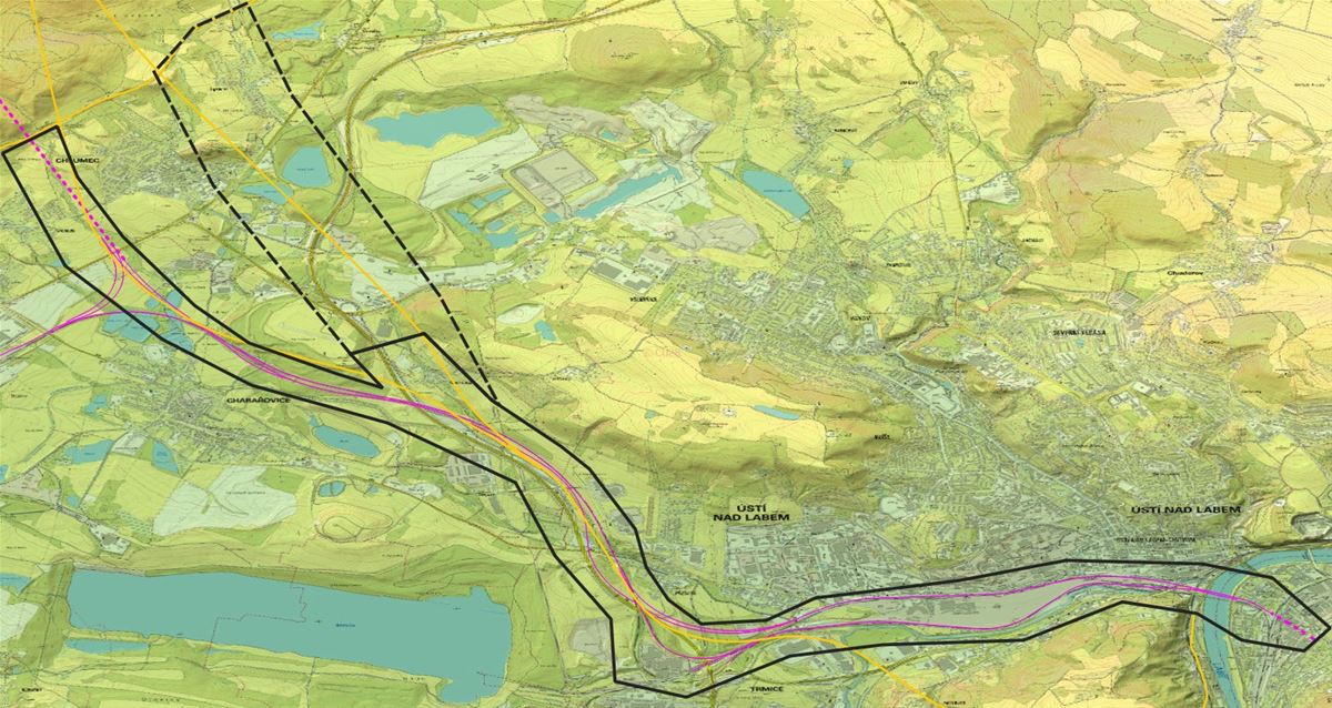
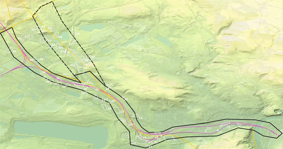
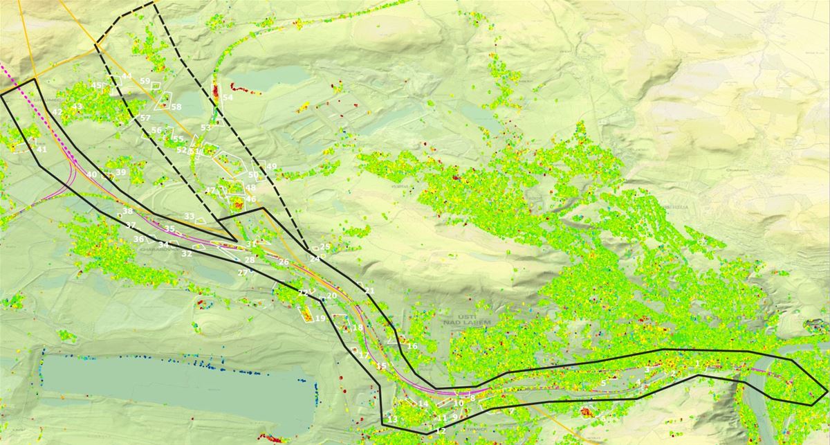
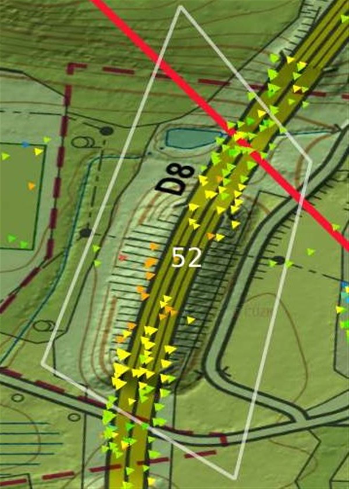
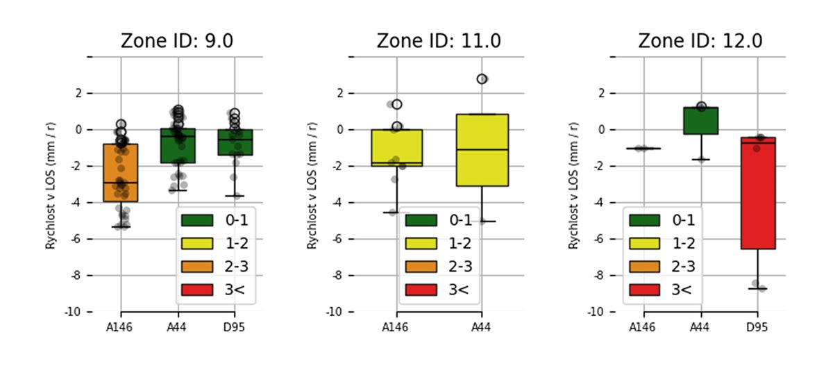
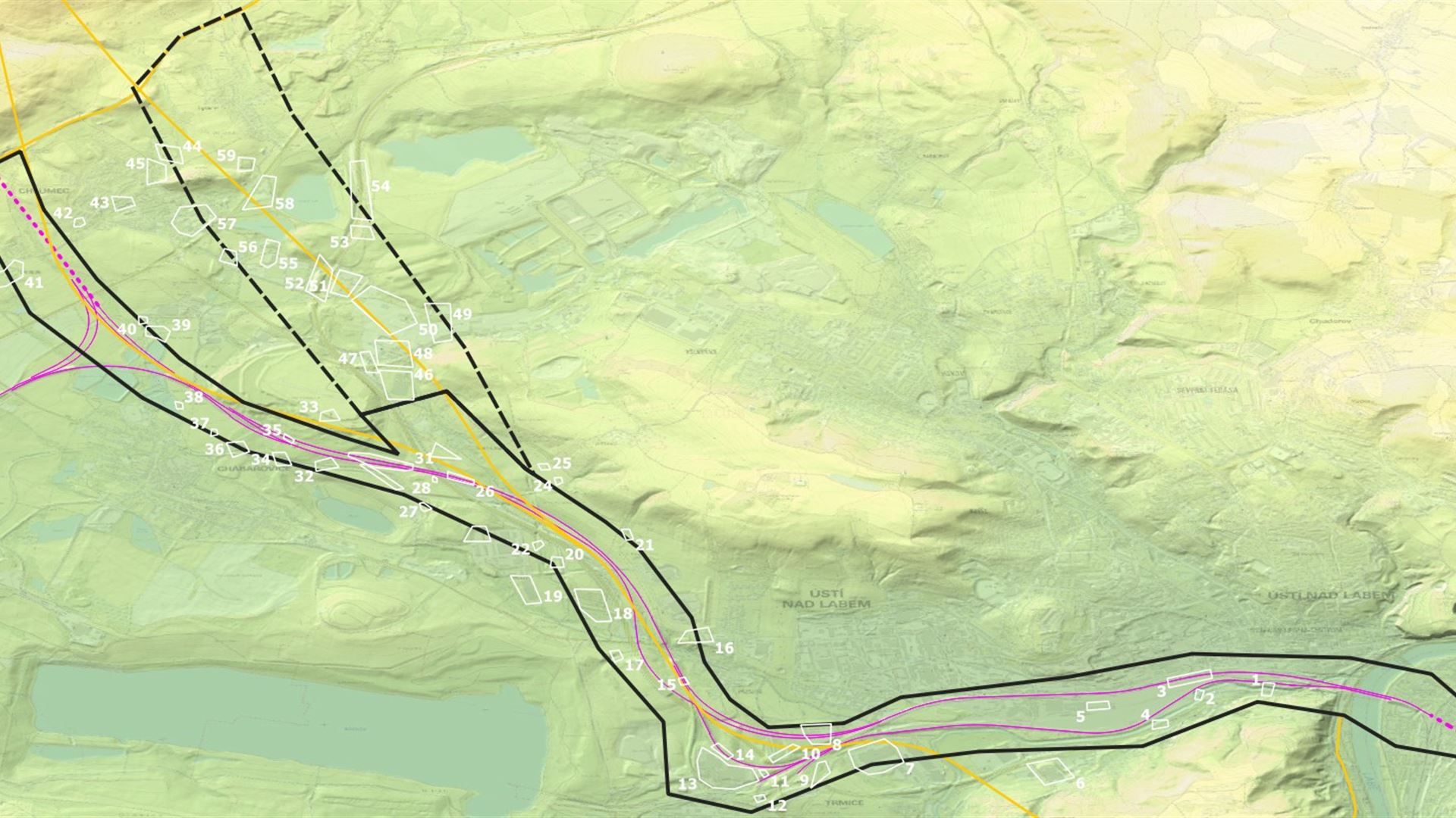
A key section of the main track connecting Prague to Dresden and onwards to Berlin is slated for upgrading to allow high-speed travel, bringing the two capitals even closer together. A key goal of the geotechnical survey is to determine the extent and activity level of both mapped and unrecorded slope instabilities. Optimal geotechnical monitoring design is essential for cost-effectiveness and risk mitigation.

Solution

We developed scalable services using a combination of MT-InSAR technologies.

To support the preliminary geotechnical survey, we provided a consultation-oriented service based on deformation analysis from the European EGMS service results. For the detailed survey of high-risk locations, we've created a service using temporal permanent and distributed MT-InSAR reflectors.

Results

Investors received actionable insights that will minimize future construction costs

The detailed InSAR mapping service products help support geotechnical surveys. They aid in planning geotechnical monitoring and establishing an observation network in selected sections of the planned high-speed railway corridor. These results help optimize the placement of monitoring network elements in areas affected by slope instabilities.

Our service's consulting option enhances the understanding of instabilities when assessing the risks associated with different route options.