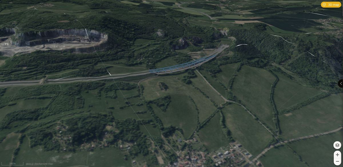
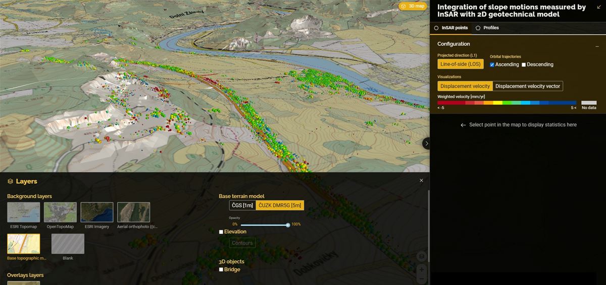
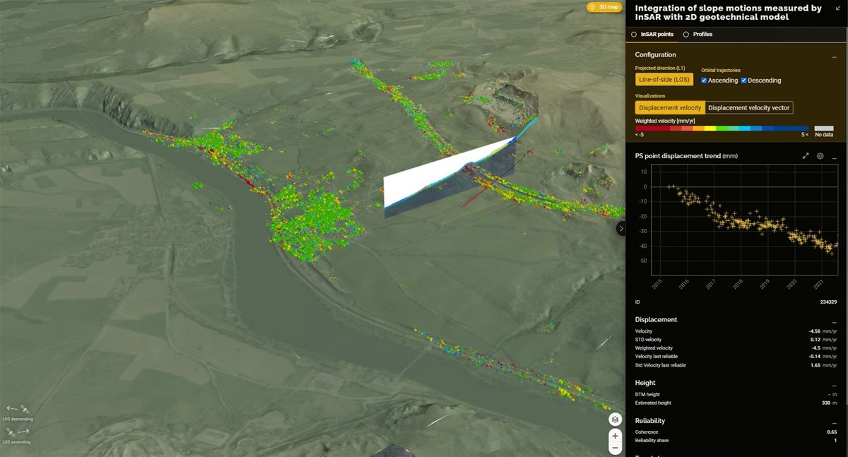
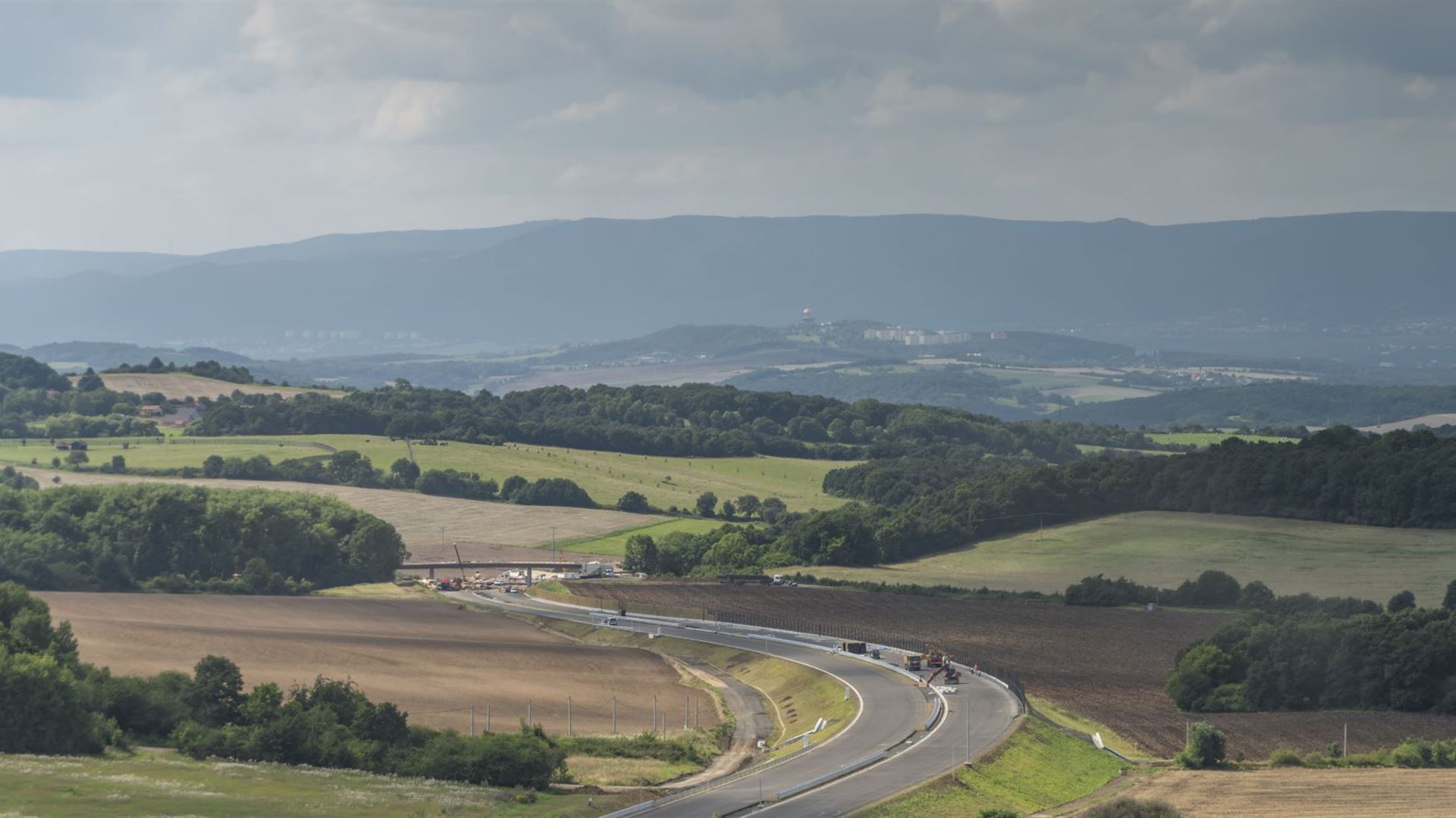
Case study

InSAR monitoring system for landslide-prone segment of D8 highway

Project duration
2018-2024
Project area
Czechia
Customer
Czech Road and Highway Directorate

Situation

Managing highways and first-class roads requires keen attention to road stability, risk assessment, and preventive measures. 

The Czech Road and Highway Directorate (ŘSD) is responsible for a road network spanning over 8,000 km. 

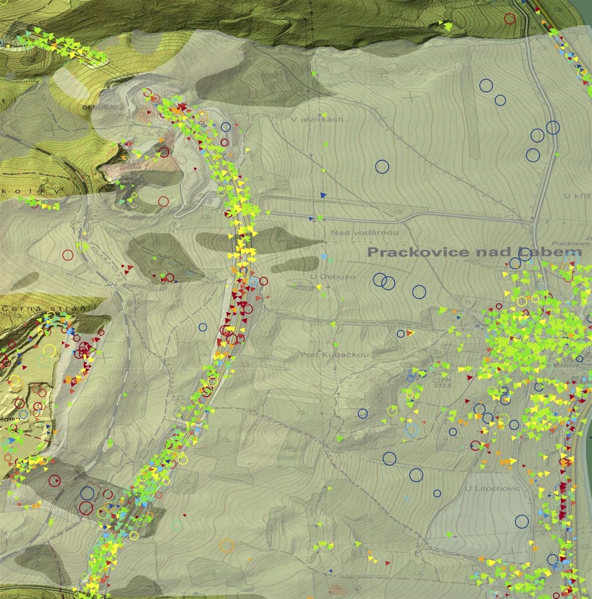
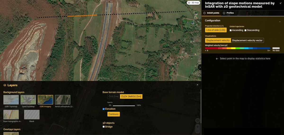
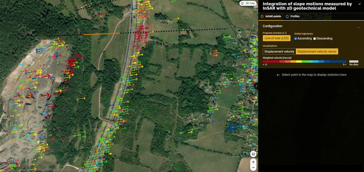
ŘSD is a long-term customer of Gisat keen on utilizing MT-InSAR technology for geotechnical mapping and monitoring. 

Solution

InSAR technology helps road managers monitor risks to road stability, allowing decision makers to prioritize repairs. 

In cooperating on research projects or supplying commercial services, we have developed a number of products based on InSAR technology for ŘSD:

  • Certified methodologies for evaluating the feasibility of InSAR mapping and InSAR monitoring of bridge deformations
  • Design of artificial corner reflectors optimized for installation on bridges or around highways (double-flip reflectors)
  • Designing InSAR monitoring including the design of a network of artificial corner reflectors for a landslide-prone area near the D8 highway
  • Pilot test monitoring based on annual mapping
  • Research and development of InSAR integration with the engineering-geological model of slope stability (in cooperation with the Faculty of Natural Sciences of Charles University in Prague)

Results

Our products helped the customer assess slope instabilities and increase road safety in areas susceptible to ground movement. 

ŘSD implemented a network of artificial corner reflectors in a key segment of the D8 highway prone to landslides based on our model.

In addition, the Czech Highway Directorate has adapted InSAR technology into their internal regulations for slope anomaly detection in preliminary geotechnical survey execution.